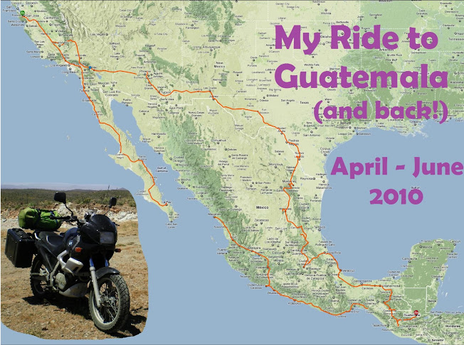
Day 9: I made it to the rendezvous last night. It took nearly 9 hours. It cost me $28 in toll fees from the border to Monterrey! The GPS had me going on some remote route through the mountains, and the bridge was blocked off. I got scared and just went back the normal way through the city. While driving through town, I hit a speed bump (tope), and the rear wheel ripped off the plastic mud scraper which wraps around the rear tire. There goes $80 in trim pieces.
I arrived just in time for the Saturday night, end of rendezvous party. Everyone was excited to see me. Unfortunately, they've already all done the best canyons. Today we descended two very short canyons, but tomorrow most everyone goes home. I'm hoping Luca, who is staying here with me for the next few days, and I will find some interesting stuff to do.


No comments:
Post a Comment