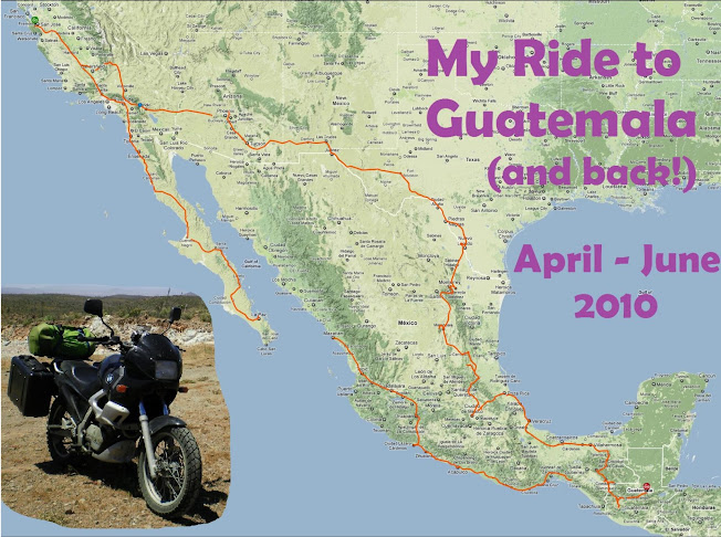

Day 48 - My plan from yesterday, to leave before the afternoon rains, didn't quite work out! It started raining at 8am (!) today, pretty hard. I looked at the weather radar online and saw that a large storm is sitting right off the coast and is going to hit tomorrow. So instead of going east to Antigua, I decided instead to head north, to Semuc Champey, which is "the most beautiful place in all of Guatemala". Then after the storm passes in a couple days I'll loop back south to Antigua for the ascent of El Volcan Pacaya.
I was sort of undecided -- a lot depended on the weather I encountered as I went north. Leti insisted that I NOT take the north road to Semuc Champet, as it is "muy peligroso (dangerous)", rockslides, muddy, very remote, hours between towns, blah blah blah (I mean, "etc.") Ludwig told me he tried riding the road once on a motorbike and fell, breaking his arm. So I placated them by assuring I'd be heading back to San Cristobal (Mexico) today, while secretly planning to make the decision en route. I left their house around noon, under a light drizzle.
At the decision point, whether to go left, returning to Mexico, or right, to unknown wonders in the remote mountains of Guatemala, it was not raining and the roads were dry. I went right.

No comments:
Post a Comment