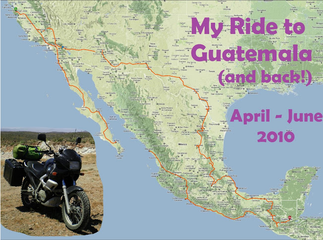


Day 32 (afternoon) - A hundred miles from Villahermosa is Palenque, a "medium sized" site of Mayan ruins, which is located right in the front range where the flatlands of Chiapas rise into the mountains behind. It is in a beautiful spot up on the mountainside and commands a vast view of the plains below.
The site closes at 5pm and I got there right at 4 (I spent a little too much time at the zoo I guess :), so they let me in for free. Even with just an hour, I was able to walk around and see most of what is available there, and not roped off. Click here for a video.
Palenque was smaller than I anticipated, but did have the best preserved architecture of the three sites I'd been at so far (Teotihuacan & El Tajin being the others). I'd read that howler monkeys live in the woods surrounding the site and you can sometimes hear them, but I guess this day they were saving their voices because I didn't hear them.
I have to admit though, that something about these sites is a bit underwhelming for me. I know they were built without iron or the wheel, but they had centuries -- thousands and thousands of people over dozens of generations. Perhaps it's because I went to Peru last summer and saw what the Incas were able to accomplish -- their craftsmanship is absolutely stunning in comparison (and Machu Picchu is out of this world beautiful).

No comments:
Post a Comment