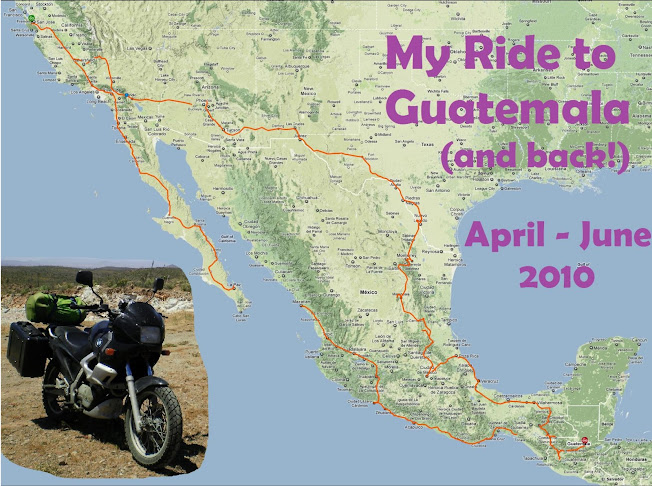

Day 56 - Paul and I stayed up last night discussing what we should do next. He suggested going to a small village in the mountains a couple hours from here, named Todos Santos. It is quite strongly Mayan, and is unusual in that the men also wear traditional dress, instead of only the women as most everywhere else in Guatemala. The dress of the men is exclusively red pinstriped pants, blue & white pinstriped shirts, and a bowler's hat. No kidding!
However we have to watch out for taking photos there -- both Lonely Planet and Rough Guide tell of a Japenese tourist who took photos of a young girl in the year 2000, and it upset the townspeople so much they beat him to death, and his bus driver too!
The ride up to the town was really beautiful -- cloudy and misty with just a very light drizzle. I also crested over 11,400 feet on the bike -- the highest elevation I've ever ridden it!
Todos Santos is exactly the town I had pictured Xela to be in my mind -- very small, on a steep hillside, with chickens running around, one paved street leading to the main plaza and just a few cobblestone streets leading away from it. And it even has a couple language schools! Hmmm... maybe next time :)
In other news, I am quite worried about a bad infection on my right elbow that is spreading fast. I got a cut there a week ago in the candle lit cave, and it was healing fine, but I think my recent intestinal illness caused my body to overlook it, and now the infection is spreading.

No comments:
Post a Comment